Real-time GPS tracking
Every vessel equipped with IoT GPS — live position, speed, and route displayed on the dashboard.
Protect marine conservation areas and ensure tourist safety with real-time GPS tracking, geofencing alerts, and automated route guidance for waterbikes and jetskis.
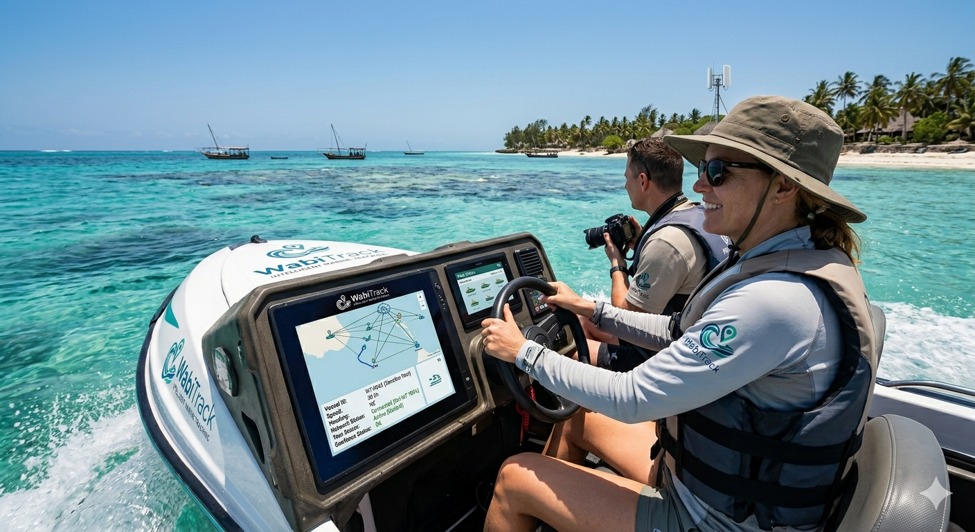
From GPS position to geofence breach — WabiTrack digitizes every step of the vessel journey
Every vessel equipped with IoT GPS — live position, speed, and route displayed on the dashboard.
Automatic warnings when a vessel approaches restricted conservation zones or swimming areas.
Operators and rangers receive real-time push notifications for zone breaches or speeding.
Guided navigation keeps vessels on safe, approved routes — away from coral reefs and swimmers.
No more unauthorized zone entries or guests at risk near swimming areas
Vessels are tracked in real time with GPS. Operators see alerts the moment a waterbike approaches a conservation zone or swimming area. Geofencing prevents unauthorized entry, and automated route guidance keeps tourists safe — no guesswork, no accidents, no harm to marine ecosystems.
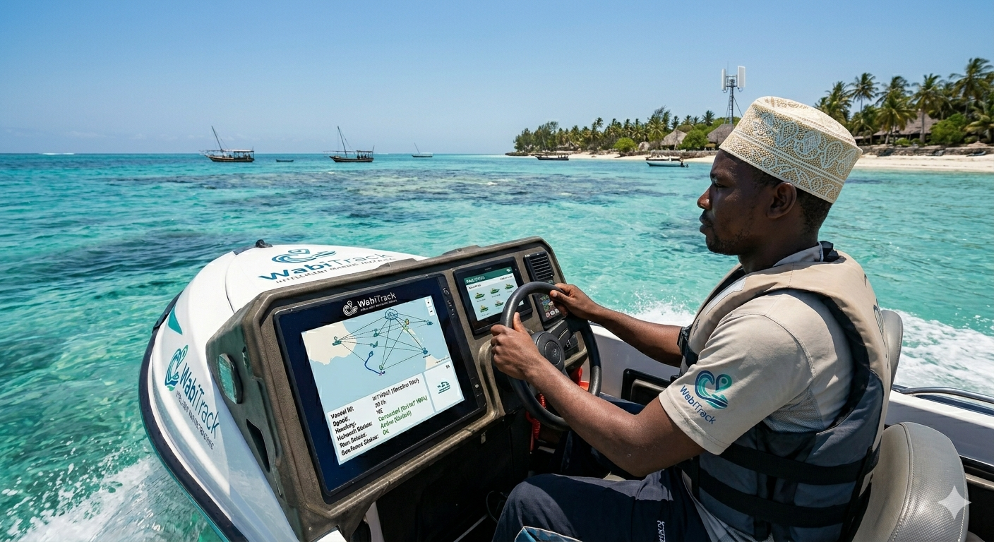
Live location monitoring for every waterbike and jetski in your fleet.
Prevent entry into restricted ocean areas — conservation zones, swimming zones, and coral reefs.
Automated speed alerts to enforce safe operation near beaches and marine life.
Guide vessels along approved corridors with turn-by-turn navigation assistance.
Audit-ready trip logs, instant geofence alerts, and guided navigation — built for marine tourism operators who take safety and conservation seriously.
Waterproof GPS units fitted to each waterbike and jetski in your fleet.
Conservation areas, swimming zones, and safe corridors mapped on your dashboard.
Real-time tracking, alerts, and route guidance operational immediately.
IoT hardware available. Training and setup included on Professional.
Starter
TZS 650,000 · per month · up to 5 vessels
Ideal for small operators with a handful of waterbikes or jetskis.
Professional
TZS 1,500,000 · per month · up to 20 vessels
Route guidance, collision alerts, and operator dashboard included.
Enterprise
Contact us
unlimited vessels & multi-site
Custom integrations, emergency response, and dedicated support for large fleets.
Works with standard GPS hardware
Searchable trip & alert history
Setup help in Tanzania
Tell us about your operation — we will show you a live walkthrough.